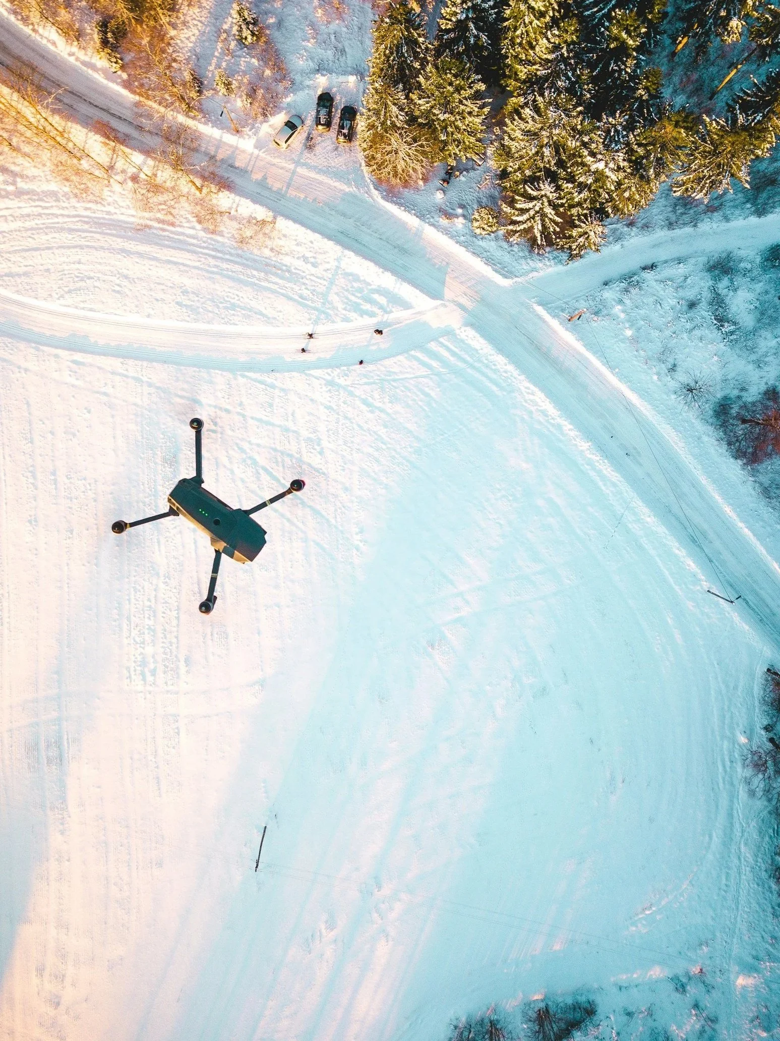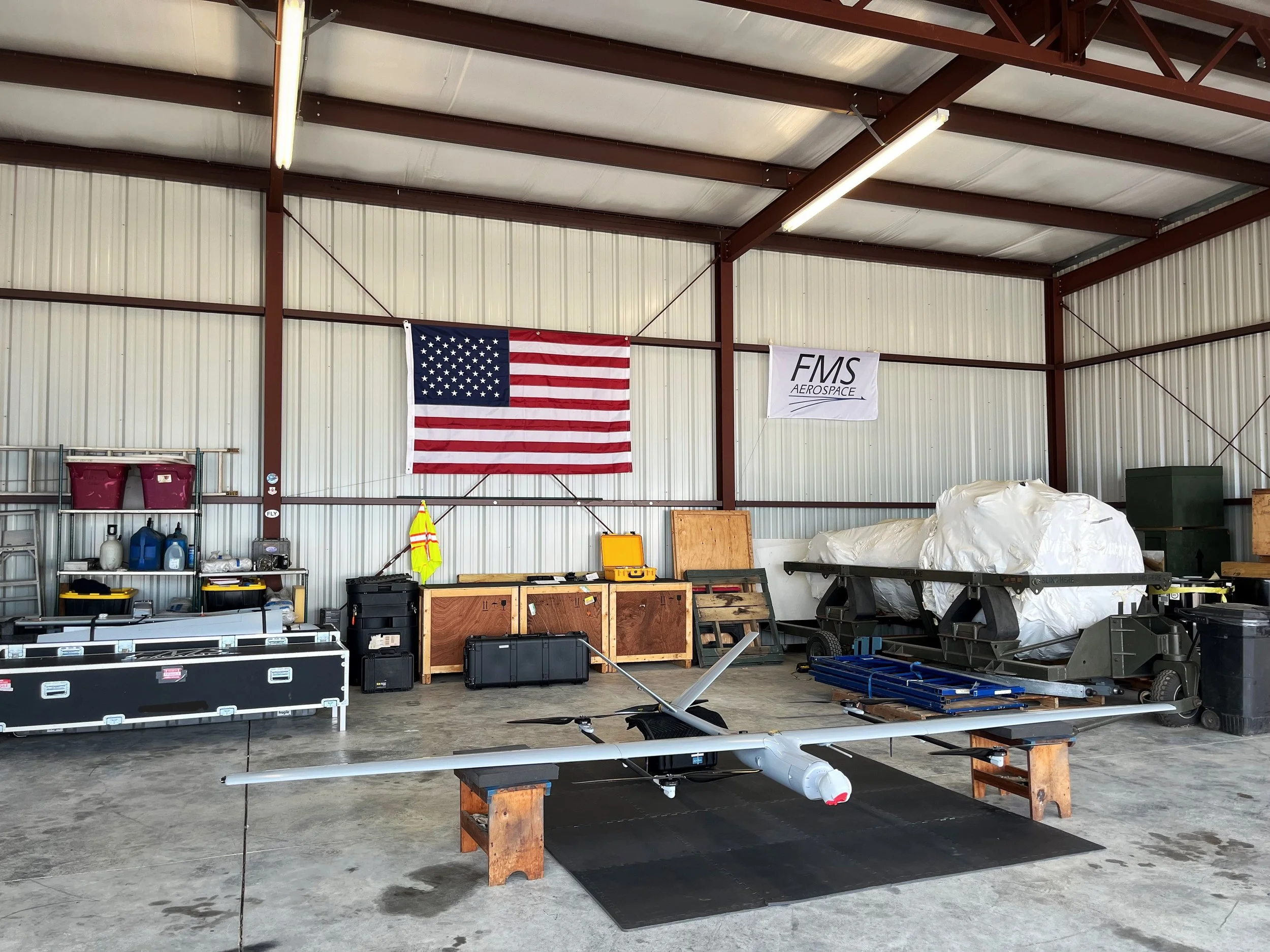
Professional UAS Solutions — Safe, Certified, Mission-Ready
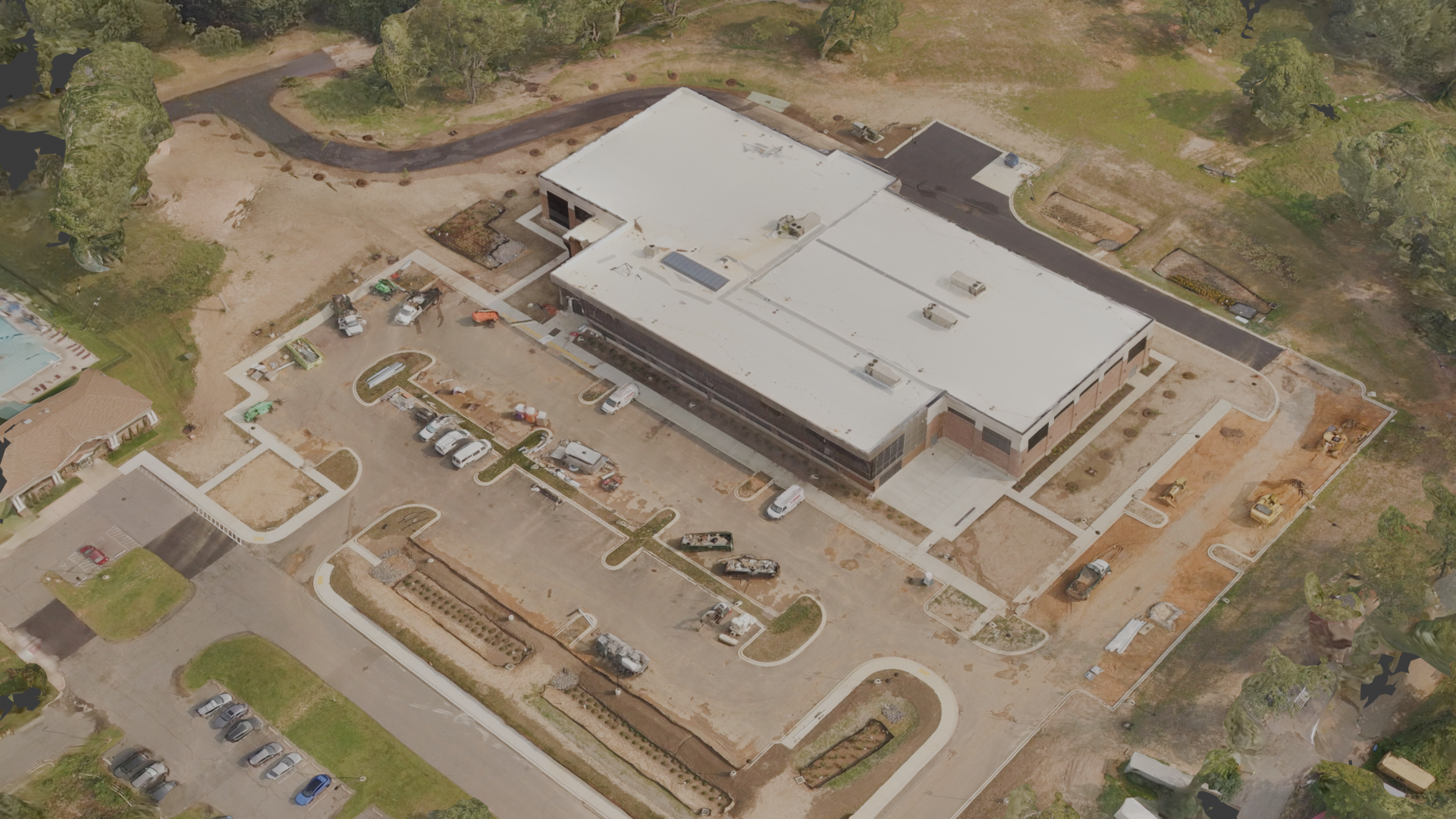
Orthomosaic map of YMCA construction site
Our FAA Part 107–certified pilots deliver high-resolution aerial imagery with precision and professionalism — we specialize in operations within restricted and controlled airspace. Leveraging various UAS platforms and our partnerships with local organizations, our teams provide aerial data that guides informed planning and moves projects forward.
Orthomosaic mapping (vegetation / infrastructure mapping)
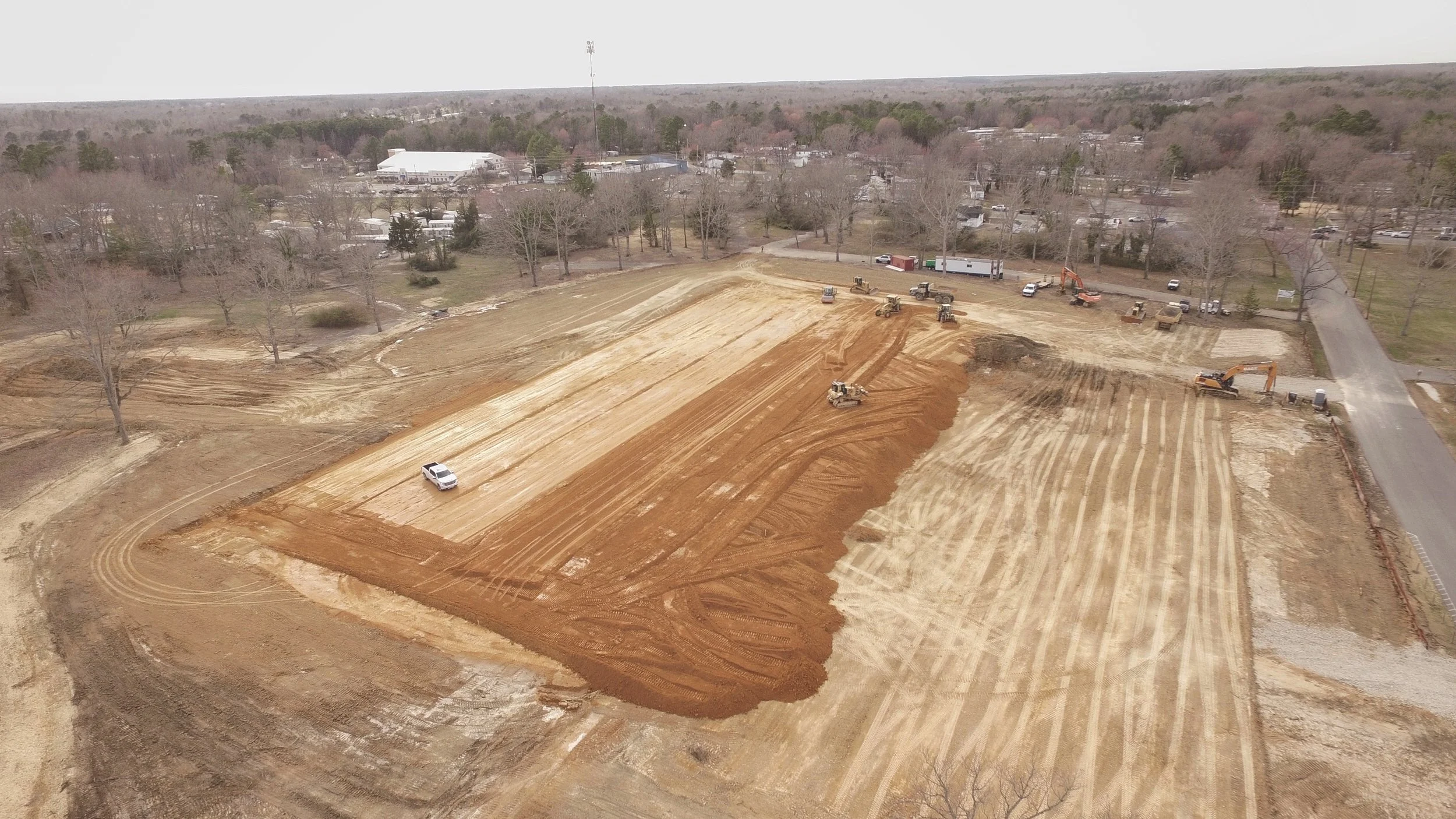
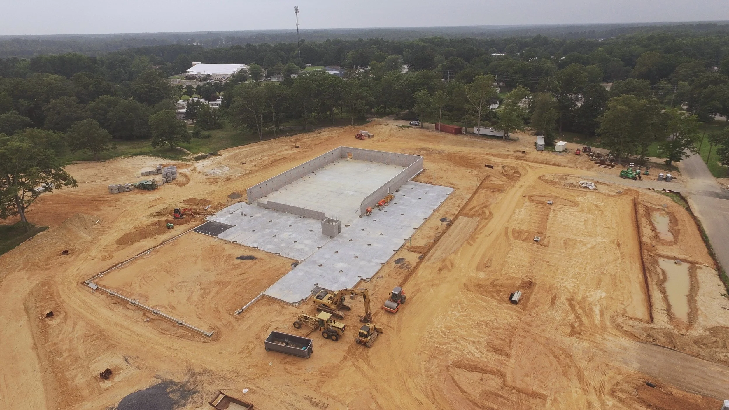
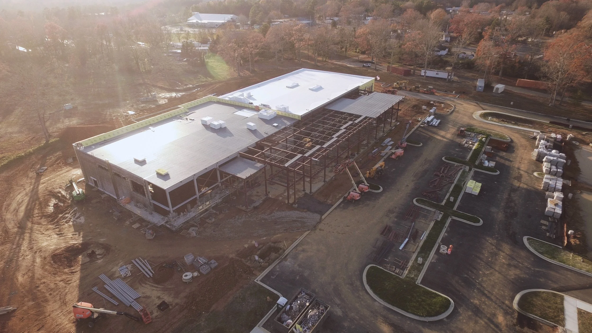
Aerial imagery (construction site / property tracking)
Aerial videography
Ready to elevate your next project?
Contact us today to discuss your project and schedule a flight — we’ll guide you from planning through final deliverables.